Soil Sampling
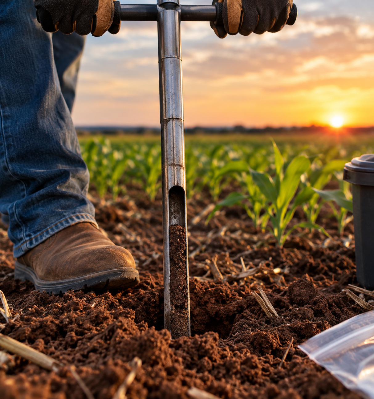
Field composite and grid-based sampling options designed around your acreage and goals, with samples prepared for laboratory analysis.
Current service focusSoil sampling and field-focused information to help producers understand their ground and make more informed management decisions.
Better field data. More informed decisions.
Request a QuoteRed Dirt Analytics is launching with soil sampling, with drone-based crop analytics planned as the business grows.
Field composite and grid-based sampling options designed around your acreage and goals, with samples prepared for laboratory analysis.
Current service focus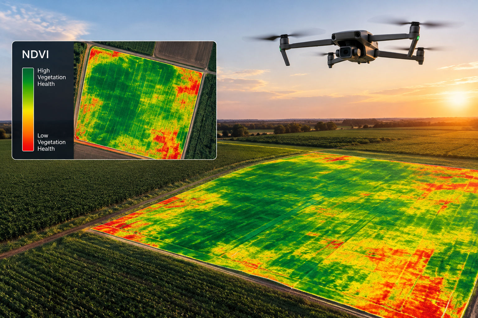
Planned services may include NDVI/NDRE mapping, crop-health analysis, stand counts, irrigation monitoring, and pasture insights.
Planned future serviceTechnology and testing should help answer real questions about your operation—not leave you sorting through information without a plan.
We focus on useful information, straightforward communication, and services shaped around the needs of Southwest Oklahoma producers.
Tell us about the field, acreage, and what you want to learn.
Discuss sampling options and the intended use of your results before work begins.
Review the proposed scope and cost before deciding how to proceed.
Contact Red Dirt Analytics for soil sampling information or to ask about planned aerial services.